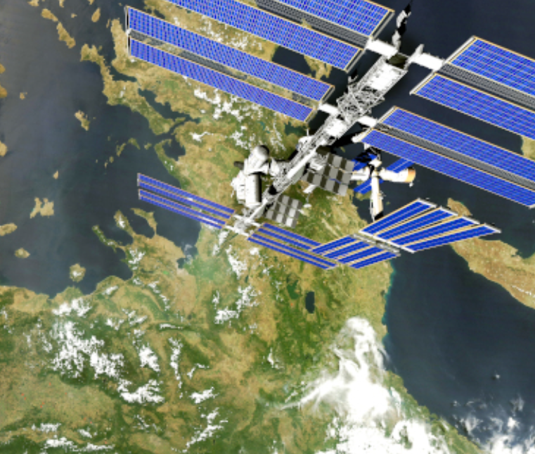
Copernicus Emergency Management Service (EMS), operational since 1 April 2012, provides emergency information for various disasters.
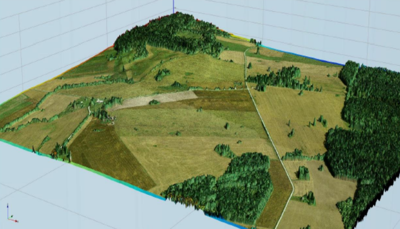
Analysis of forest cover in relevant areas through structural and connectivity indices in Austria, France and Sweden.

DOPA supports the EU in the global partnership for sustainable development by improving access to baseline information for decision-making regarding the conservation of biodiversity and ecosystem services, with a focus on protected areas.
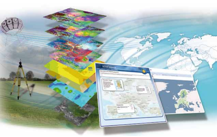
Development of a spatial data infrastructure to support reconstruction monitoring. Lebanon Application
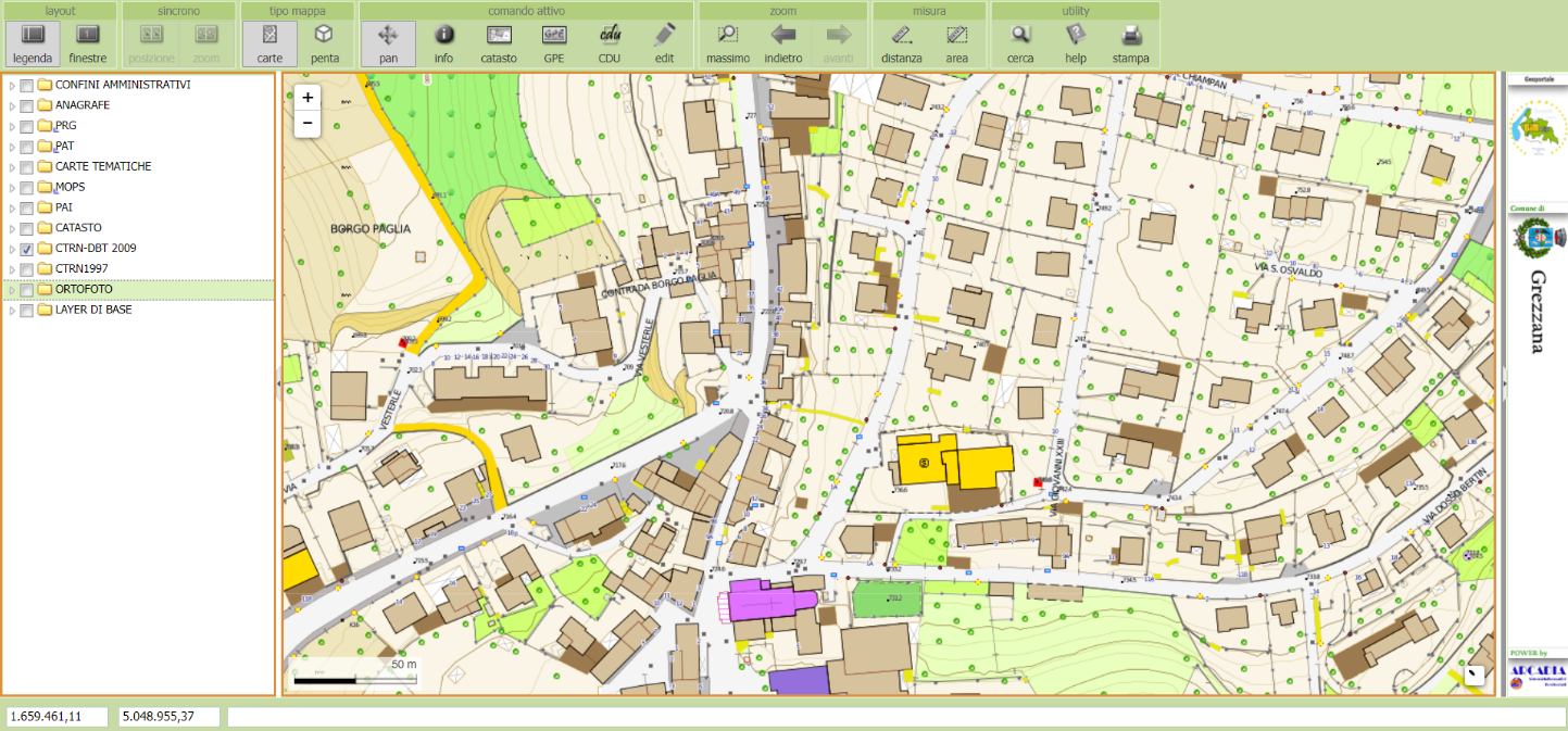
Provide management tools for the spatial data of homogeneous Urban Plans complying with the Veneto Region sector standards.
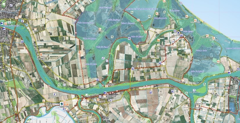
The project includes the creation of a tourist map and guidebook for use of the Park.