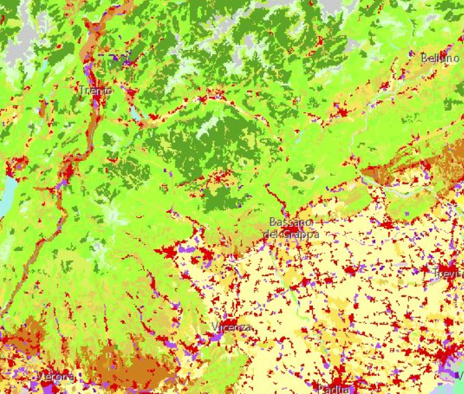
Using CORINE LC specifications, GIS technologies, remote sensing techniques and photographic interpretation, and GPS field surveys, land use maps were produced, consistent with the regional technical base map.
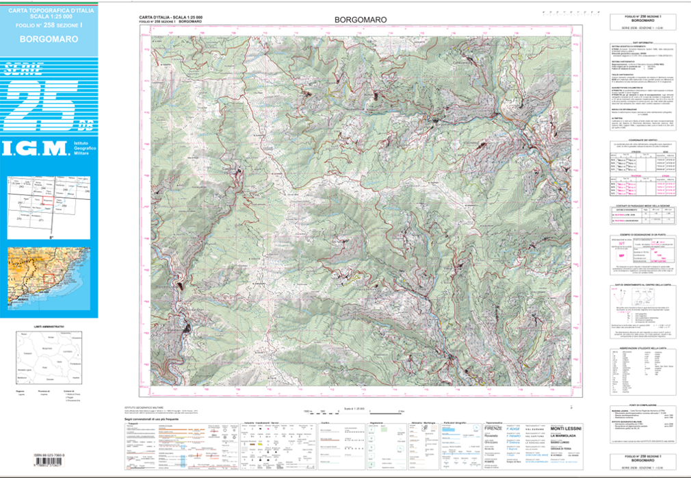
Analisi spaziale nel settore ambientale, per monitorare l’utilizzo del territorio in prossimità dei fiumi e gli scarichi industriali e di smaltimento delle acque reflue civili.
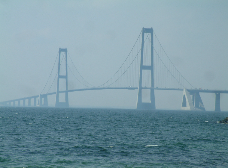
GRRASP is a platform with a World Wide Web-oriented architecture that brings together geospatial technologies and computational tools for the analysis and simulation of critical infrastructures.
Production of Liguria forest maps at a scale of 1:25,000 using remote sensing, photo interpretation and field survey techniques using GPS.

The JRC Bioeconomy project, the results of which are in part publicly available through the Knowledge Centre for Bioeconomy, supports the Action Plan of the European Commission's updated Bioeconomy Strategy.
The aim of the EVDAB project is to collect and integrate databases relevant for the identification and assessment of urban area vulnerabilities to 'weather driven hazards'.