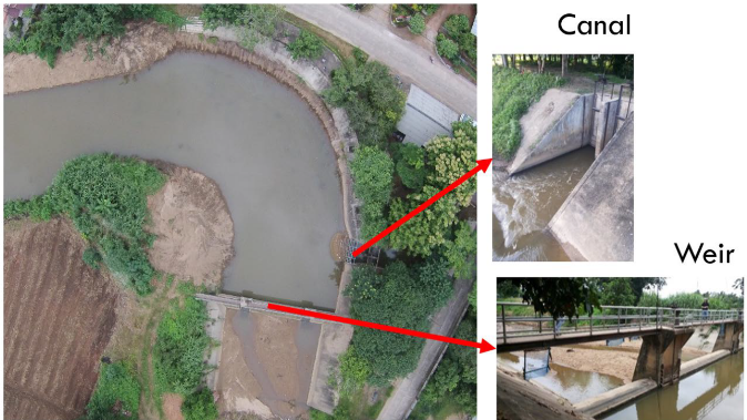
Design and implementation of an online database and analysis methodology aimed at improving the evaluation, management and monitoring of proposals and projects eligible for funding from the European Commission under the 'EuropeAid' external cooperation programme.
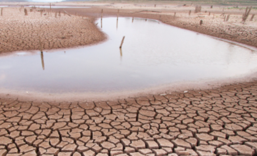
The World Atlas of Desertification highlights the complexity of land degradation and desertification processes involving social and ecological aspects.
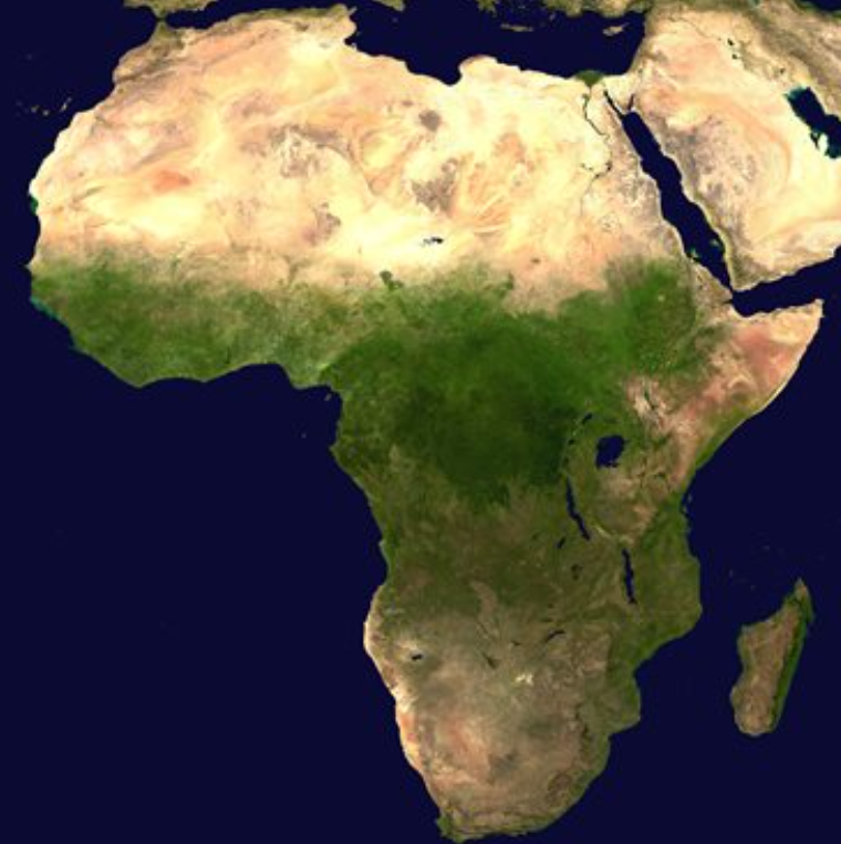
OFAC is a specialised unit of the Central African Forestry Commission that provides relevant data on the region's forests and ecosystems, in order to have essential tools to guide and share knowledge for better governance.
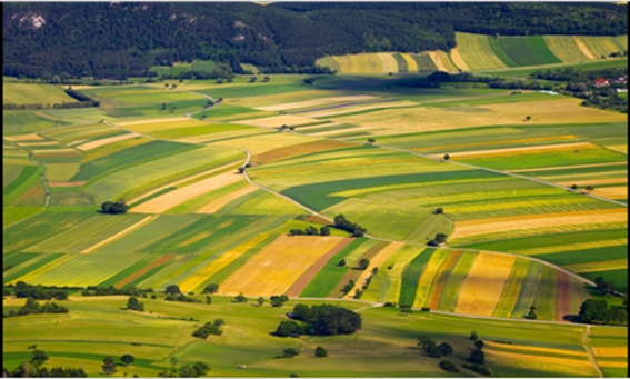
The system provides annual harvest estimates at the European level by monitoring crop growth and vegetation analysis of short-term weather effects.
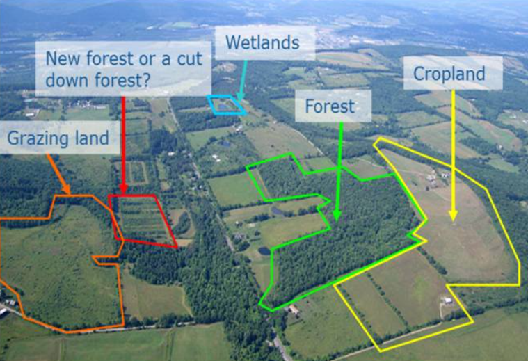
LULUCF provides scientific support to the European Commission to understand how forests mitigate and interact with climate change, following EU legislation and the requirements of the UN Framework Convention on Climate Change.
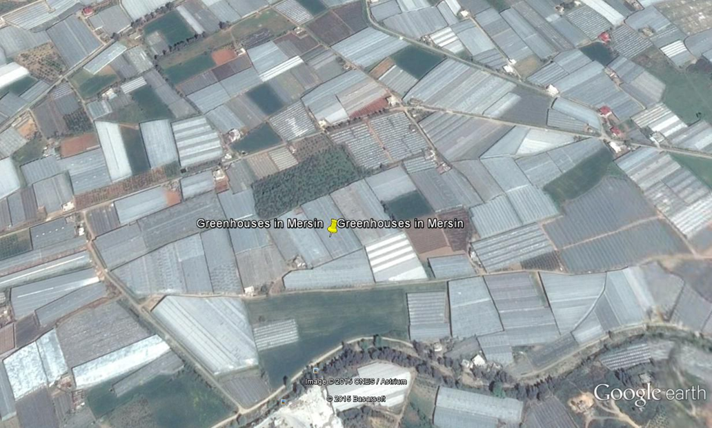
GIS platform and geodatabase to produce LPIS (Land Identification Parcel System) data for 390,000 square kilometres of agricultural land in Turkey and monitor its quality, using the standard specifications defined by the EU.