The European Forest Fire Information System (EFFIS) supports all EU services, whose main task is to protect forests from fires, with fire mapping obtained from the interpretation of satellite images.

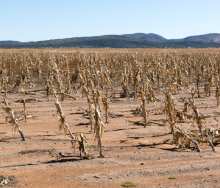
The European Drought Observatory was set up by the European Commission to monitor and evaluate the phenomenon of desertification in Europe and provide forecasts on its impact.

The FLOODS project was concerned with designing a database for the collection of weather and hydrological information produced in the various EU countries by defining the information of the different data sources.

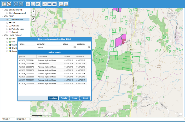
The service is based on GIS functionality and open source relational databases. The latest generation cartographic interface was integrated and encapsulated with third-party procedures.

The project aims to provide a deeper understanding of the key aspects of digital transformation to help policy makers address the challenges European society will face in the coming decades.

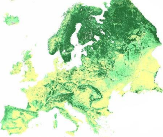
Improve knowledge of the extent and change of tropical and boreal forests and in particular the improvement in the estimation of forest cover and related processes in the biosphere.