ARCADIA SIT is a partner in the European consortium for the provision of services in the field of GIS and remote sensing, within the DESIS and DIGIT framework contract, the project is developed by JRC - IES - Institute for Environment and Sustainability / Land Management and Natural Hazards Unit.
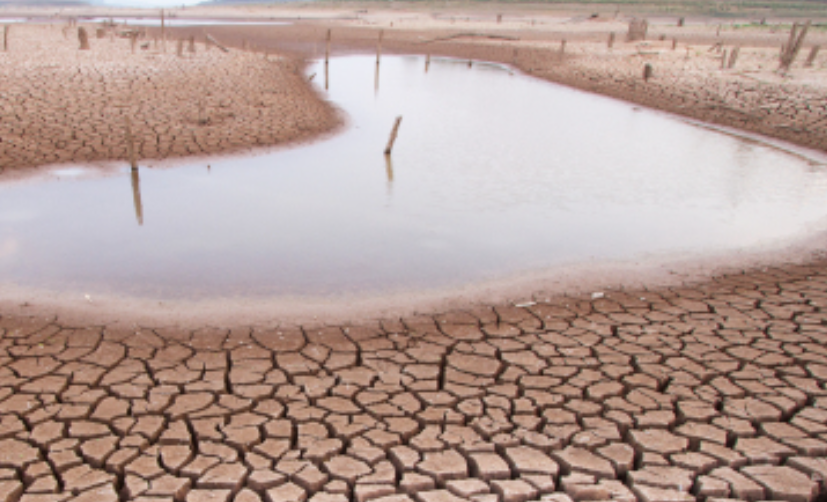
The World Atlas of Desertification highlights the complexity of land degradation and desertification processes involving social and ecological aspects. It supports the UN Sustainable Development Goal 15.3 'to combat desertification, restore degraded land and soil, including land affected by desertification, drought and floods, and strive for a land degradation-neutral world'.
CLIENT: IES - Institute for Environment and Sustainability / LMNH Land Management and Natural Hazards Unit