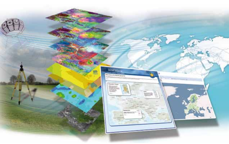
Development of a Spatial Data Infrastructure in support of reconstruction monitoring

ARCADIA SIT is a partner in the European consortium for the provision of services in the field of GIS and remote sensing, within the DESIS and DIGIT framework contract, the project is developed by JRC - IPSC The Institute for the Protection and Security of the Citizen - GLOBESEC - ISFEREA.
The action consists of a series of projects, described below:
- SDI4LEB - Development of a spatial data infrastructure to support reconstruction monitoring. Lebanon Application.
- NARCO - Natural Resources and Conflict Information Centre - Global atlas and information centre on natural resources and conflicts.
- T-Generator, T-Crop, T-Sort - Web application and image server for the production of tiles, navigation and superimposition of satellite images, selection of image subsets, statistical analysis of tiles produced.
- Human exposure - Climate exposure monitoring of settlements at risk.
Support for the geographic information infrastructure of isferea (including software development and hardware configuration).
CLIENT: IPSC The Institute for the Protection and Security of the Citizen - GLOBESEC - ISFEREA
