PRODUCTION OF THE CADASTRAL GEODATABASE OF WATERS AND RIVER BASINS
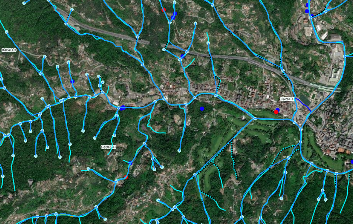
The project involved the implementation of the regional hydrographic network information system. Using 3-D and network modelling, watershed and drainage areas were defined and river courses were classified according to the Strahler methodand according to SIBAPO coding.
The activities implemented are:
- Definition of operational methodology
- Importing existing data and normalising them
- Construction of the hydrographic grid graph
- Coding of river rods
- Construction of basins and sub-basins
- Application of river rod orders according to Strahler
- Classification of auctions using SIBAPO coding
- Quality control (geometry, topology, data control)
In the realisation of the hydrographic network graph, the following were verified/corrected:
- The elevation of the nodes and individual points constituting the geometry of the river courses
- Definition of the direction of water flow
- The coding of grid layers adhering to DBT specifications
CLIENT: LIGURIA REGION