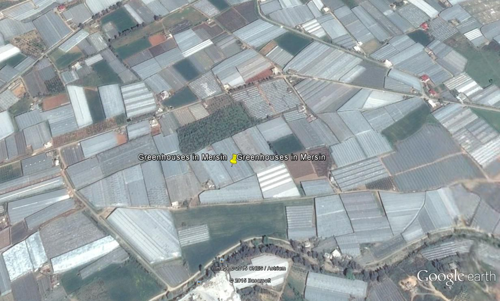
ARCADIA SIT designed and implemented the GIS platform and the geodatabase to produce LPIS (Land Identification Parcel System) data for 390,000 square kilometres of agricultural land in Turkey and monitor its quality, using the standard specifications defined by the EU.
The open source project management solution made it possible to develop several plugins for dynamic photo-interpretation, polygon encoding, geometry verification and topology. Automatic tests and checks, carried out both during and on completion of the work, made it possible to verify the quality of the data entered.
ARCADIA SIT provided services and consultancy for planning, implementing the tools for project management, data organisation, providing training tools and subsequent training of local staff to guide operators and experts during the production, digitisation, quality control and delivery phases.
In addition, using the methods listed above, ARCADIA SIT carried out 20% of the photo-interpretation and final testing of all delivery lots.
Some data on the project:
The activities mainly concerned:
CLIENT: MINISTRY OF AGRICULTURE TURKEY