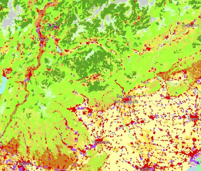
Using CORINE LC specifications, GIS technologies, remote sensing techniques and photographic interpretation, and GPS field surveys, land use maps were produced at a scale of 1: 10,000, consistent with the regional technical base map.
As a first step, satellite images were analysed and managed, through georeferencing processes, raster analysis for the identification of areas with homogenous spectral signatures and calculation of indices. Subsequently, interpretative keys were defined by verifying them in the field with a survey campaign and producing the Class Atlas organised in a multimedia database.
The vector polygonswere then photo-interpreted and classified, adhering to the standard Corine LC 3rd level legend.
Following the photo-interpretation phase, elaborations were carried out to clean up geometries, eliminate polygons with a surface area smaller than the minimum defined area, and construct topologies between CORINE LC polygons and with the elements of the base cartography.
This process has made it possible to obtain accurate and reliable land use maps, which adhere to the CTRN and are therefore comparable with other layers produced by the Liguria Regional Administration as part of other projects.
CLIENT: Liguria Region