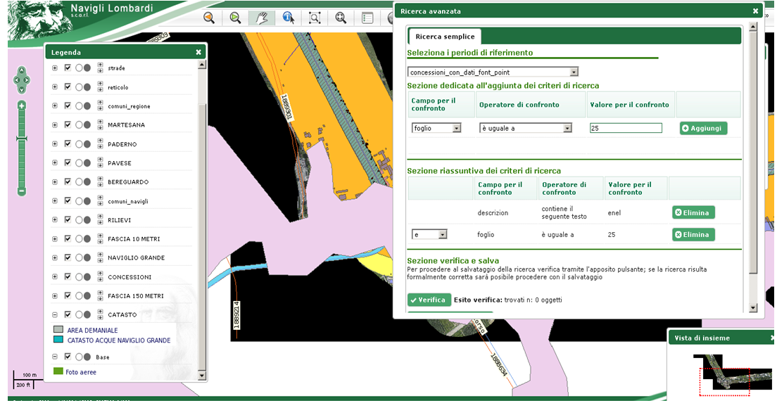
The 'River Contracts' funded project produced an ESRI geodatabase and webgis portal to support:
All the information, ORGANISED IN THE GEODATABASE, is CONSULTABLE by various agencies, such as: Lombardy Region, Regional Agency ERSAF (former IREALP), Lombardy Provinces, ATOs.
The geodatabase that collects the various information is approximately 50 Gb in size. It includes 275 municipalities and covers a territory of more than 3,000 square kilometres, with a length of river courses (Lambro, Mella, Seveso and Olona)of more than 900 km.The information set has been harmonised on the basic cartography on the scale of 1: 10,000 and includes:
In particular, for those municipalities where the DBT was not available, the CTRN was expeditiously updated with CINEFLEX footage and the main themes were structured according to the specifications defined for DBTs.
Specific analysis functions were developed both in Arcgis and in the web environment using Python and JavaScript libraries, producing templates to provide easy and efficient access by users of the system and to configure and specialise the presentation of information in relation to the user's field of interest. Available models:
Scenario maps are dynamically composed according to the value assumed by certain fields in the element attribute tables. In this way, by varying the parameters in the attribute tables, the scenario production procedure obtains a different classification of the elements and consequently a change in the scenario, producing a new one.
From an environmental point of view, the introduction of pollutants into rivers is managed at the point of discharge and by linking industry and cadastral data accompanied by information on the substance from production processes.
In preparing the information, we carried out activities to generalise information from different sources and from different sectors. These data had different scales and different details of information. Among other management objectives, the project provided statistical analyses organised for the municipal territory and the river buffer zone, such as:
CLIENT: LOMBARDIA REGION ERSAF