The project implemented by ARCADIA SIT involves the construction of an inter-municipal GIS (9 municipalities belonging to the Mountain Community) in order to create a new hardware and software infrastructure for the municipal SIT offices and the design and implementation of cartographic services for the municipal sectors.
GIS development is based on GEOMEDIA INTERGRAPH, both for desktop products (GEOMEDIA PROFESSIONAL) and for webgis (GEOMEDIA Webmap), which are integrated and developed to allow automatic updating from databases and publication on the Web.
The project involved the implementation of the topographic DB, the tax management platform, the development of urban plans, and the training of technicians, while also providing support to the mountain community offices.
Description
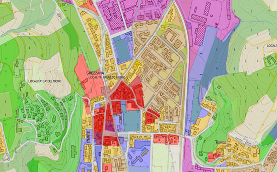
The system managed by the Mountain Community has made it possible to normalise the Urban Plans of 9 municipalities participating in the project, according to the standards defined by the Piedmont Region, providingvarious functions via web to manage and analyse urban plans and other thematic maps.
The activities covered by the project are:
CLIENT: VAL PELLICE MOUNTAIN COMMUNITY