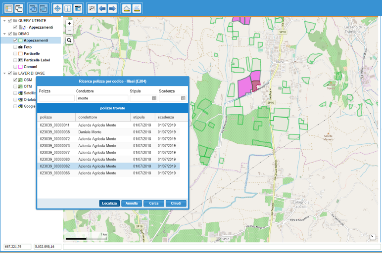
Development and customisation of a web service for geolocalisation and mapping of cadastral parcels to provide data of the cadastral parcel to third-party management software.
The service handles transcoding and internal quality checks:
The service is based on GIS functionality and open source relational databases. The latest generation cartographic interface (WebGIS) was integrated and encapsulated with third-party procedures and data (OMNIA insurance database and Practice Management Insurance Management) to enhance and complement existing services with total transparency and security.
The service includes:
Security, encryption, confidentiality and non-duplication of exchanged data.
CLIENT: REVO SPA